mardi 12 juillet 2016

Pyrénées Orientales, Catalunya, Andorre, Val d’Aran

The day after my Canigou ride, I was back in the train to Perpignan. Ignorant of the roads around this town (except the one I took two days before), I intended to take straight ahead the road to Céret and Spain, but it turned out to be a highway, with two lanes on each side of the road, and cars going well over 100 km/h. I went back, but found myself inside a web of highways, trying to find, with my road map and my GPS, another route that would take me on the Céret Road, avoiding the first part so hostile to bikes. I tried some cyclist path, but that led me nowhere. I looked at my GPS, and it showed me a small road nearby, that I finally reached crossing a vineyard. This kind of adventures makes you complain at first about not preparing well enough your trip but turns some days after into funny souvenirs.

I finally took the Canohès and col de Llauro road. At the pass, I thought that staying on the crest of the hills would allow me to get back to my route in Amélie-les-Bains, a little higher than Céret, so I turned right towards Oms. In fact my map fooled me as it showed a road that turned out to be a footpath. Instead I found myself in La Vila where I had a good climb before arriving in Amélie-les-Bains, that I reached finally with much more climb than expected. Apparently, there is a cyclist path between Céret and Amélie-les-Bains so I certainly would have done better to go down directly to Céret.
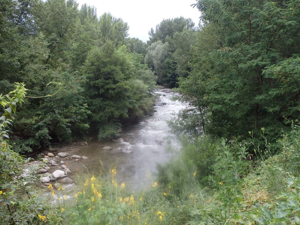
A nice cyclist path, the continuation from Céret, well indicated, led me from Amélie to Arles-sur-Tech, keeping me away from the main road. In Arles it was time to stop for the night. In my optimistic schedule, I should have passed the col des Ares this day, but all my wanderings in Perpignan, and the extra climbing on the small roads delayed me of course a lot. But no matter, I was happy to be on the road, my mind filled with the climbs that expected me the days to come.
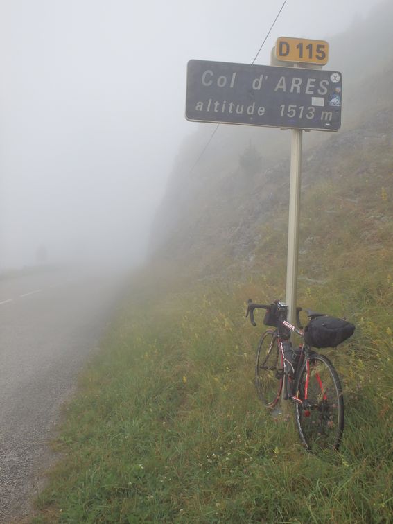
No more cycling path after Arles, so in the morning, I was on the road to Prats de Mollo and col d'Ares. It was foggy and cold at the pass. In fact I found a quite cold weather at the beginning of my trip. It was not always easy, especially when going down early in the morning, but I kept in mind that too hot would be worst. And in fact, the temperature increased the last day and confirmed me that climbing in the heat causes more problems than enduring cold in descents.

After col d'Ares, I went down to Camprodon, where the climb to my first big, Valterr 2000, was to begin. It’s a long climb, 22 km, where the nicest part are large hairpins in the forest, a little before the ski resort. Back in Camprodon, I had to go to Berga for the Rasos de Peguera climb. First it was on a highway to Ripoll, but as it was mainly downhill, it was quickly done and not too annoying. In Ripoll, I had to take briefly the Barcelona road, but turned right just before entering a big tunnel.
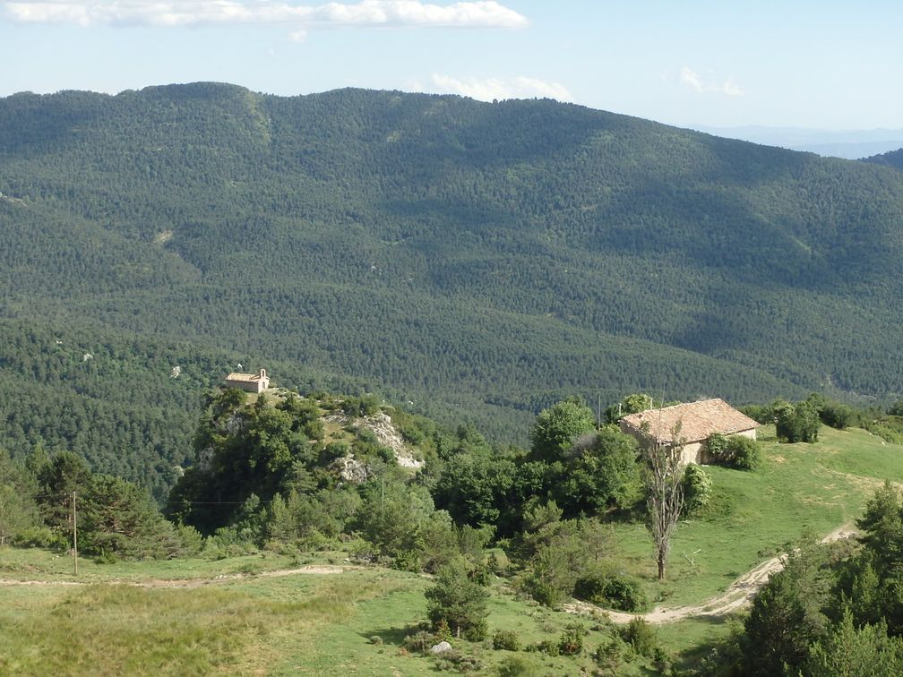
A very enjoyable road led me to Berga, through Les Lloses and Pantà de la Baells. After the Rasos de Peguera climb, I took the direction of Bagà, trying to avoid the Puigcerda main road as much as possible. I finally stopped for the night at Guardiola de Berguedà. As always, I had to explain at the hotel that I wanted to leave at 6. It was not easy this time but finally I was early in the morning on the road to coll del Pall. At the top of this climb the road turns into a dirt track. I chose nevertheless to go down this way, as it was only a few kilometres long and avoided me a very large detour. It was very rough, and I had to walk frequently, but it was worth doing it. But cyclists must be aware that it is a tough track.
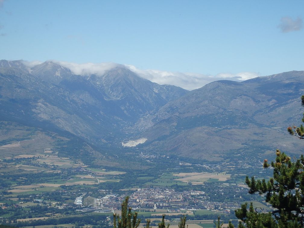
To reach Coma Morera, I went down to Puigcerda and Bourg-Madame. I could have gone directly through Queixans and Osséja, but had to take some food before the climb. At some point in the climb to Coma Morera, the road separates in two. Both ways go to the top, but the left side is much shorter. Of course I turned right, which allowed me to visit all the parts of this climb, as I went down the direct way. The road is narrow, steep and not in very good state but the views at the top, in all directions, reward us from the climb.
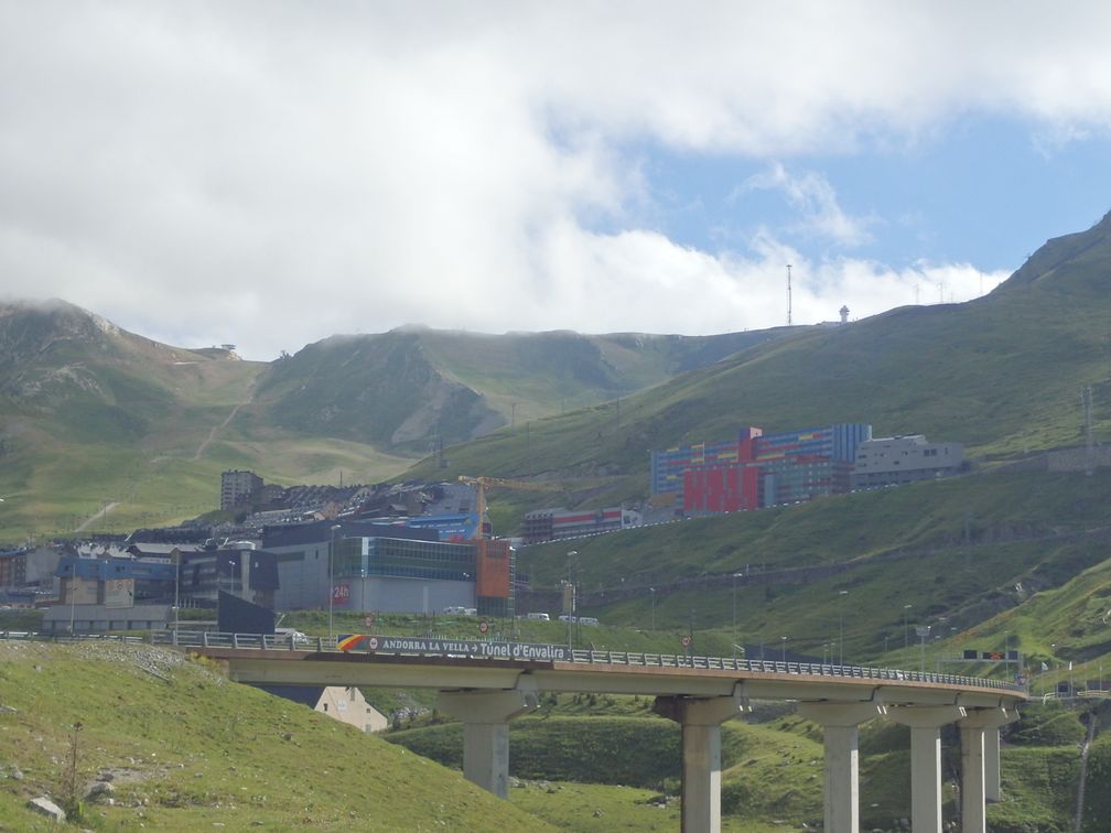
I spent the last part of the day climbing Puymorens and Envalira passes. In the port d’Envalira climb, there’s a surprising town (Pas de la Casa), 2000m high in the middle of nowhere, built for the tax-free shoppers coming from France. I came into a shop called Supermercat, in the hope of finding some things to eat, but it sold nearly only alcohols and cigarettes, so I found only a bag of nuts as a food.

I stopped in Encamp for the night. The hotel on the road to Els Cortals was full, so I had to go down in town, where I found a cheap hotel on town’s main street. I ate in a restaurant nearby where I had a full course for 11 €. I feared at first that Andorra would be expensive, but it wasn’t at all.
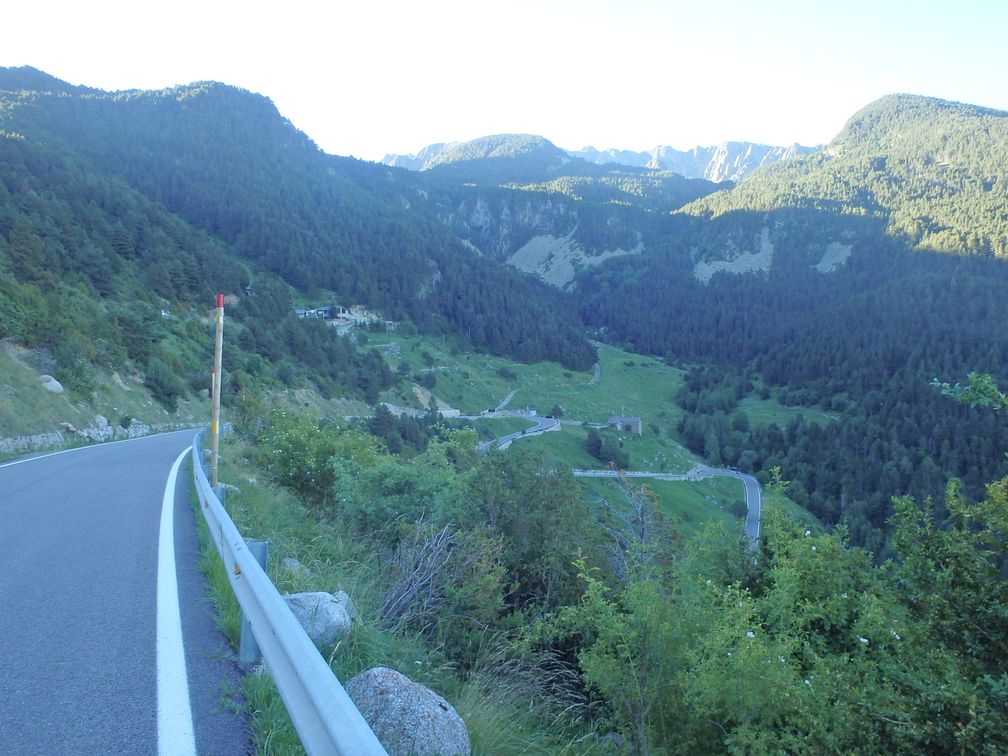
The breakfast at the hotel was at 8 am, but I left earlier to climb Els Cortals and so was back at the hotel with a good appetite. After breakfast I left towards col d’Ordino and Arcalis. In the town of Ordino, I saw a lot of runners as the Andorra Ultra Trail was taking place there this very week-end.

After Arcalis, I went down to La Manassa to start the Port de Cabus climb. I found this pass the most beautiful of all the climbs I did in Andorra. The last part after coll de la Botella is gorgeous. In fact it was so beautiful that it could have ruined my trip. I started the descent with my eyes on the scenery and not on the road. It happened that there was a little crack in the asphalt, and my front wheel chose this very place. I finished on the road, hearing the hiss of my back wheel losing its air. Well, a scratched
elbow and a flat are no big deal, so I fixed my tire and started to go down normally. But as soon as I started to brake, I realised that my front rim had been worn when entering the crack and prevented me nearly to use my front brake. So I started to go down like I could, hoping to have my bike repaired in la Manassa, or to the worst, being able to buy a new wheel in some shop. Suddenly I felt something missing in my back pockets, and realised that my purse was not here anymore. I turned back immediately and had to go up 2 kilometres before finding it in the middle of the road, with everything inside, but with my identity card and my credit card folded in three parts.
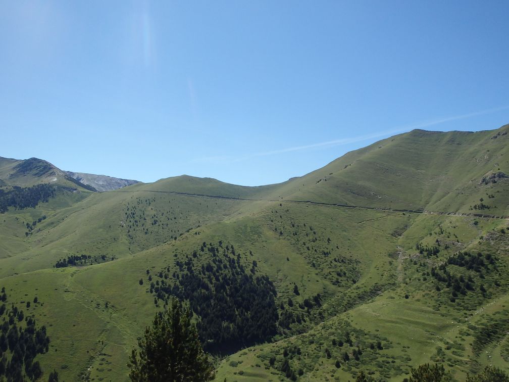
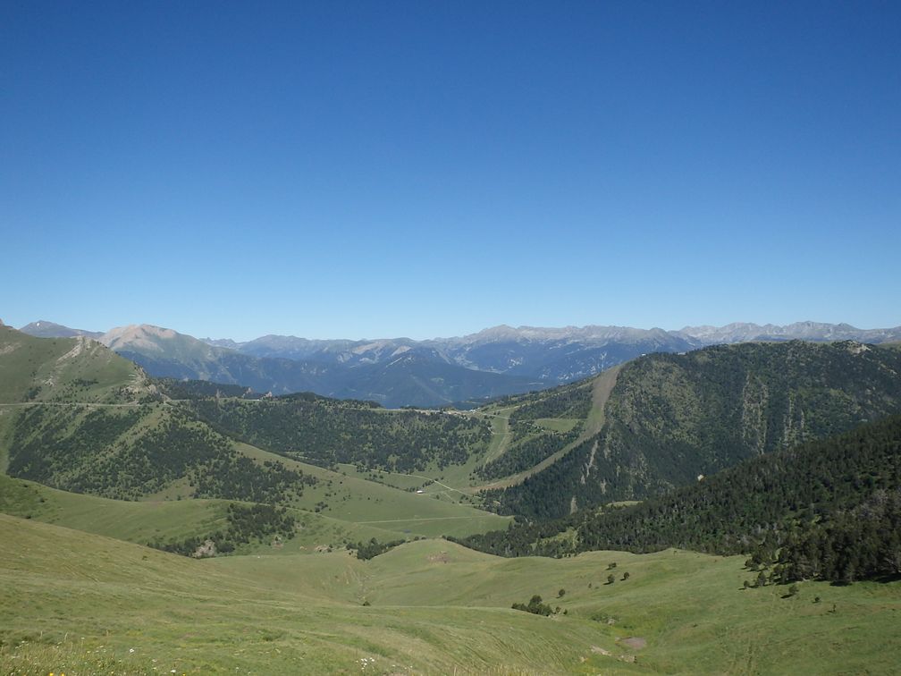
So the situation was the following: I was in Andorra, with a bike nearly unusable, no credit card and only the little cash that remained in my purse. Furthermore it was Friday and I feared not to find an open bank before Monday, if ever the case of a damaged credit card was handled. Well, at this point the only thing to do was to go down to la Manassa. On the way I had another flat on my front wheel that frightened me, as I didn’t know if my damaged rim would not cause other flats regularly. But it didn’t, and I finally arrived in la Manassa a little before 7pm, where I found a bike shop (that dealt mainly with MTB, as la Manassa appears to be the place in Andorra devoted to MTB) where my wheel was repaired, to my great relief.

I then resumed my ride but had still in mind the problem of my credit card. I stopped to have a more attentive look and found that even if it was folded in two places, the plastic was not broken and that maybe I could flatten it with precaution. When this was done, I advised an ATM nearby to test it. When I saw the notes going out of the machine, I was of course very happy.
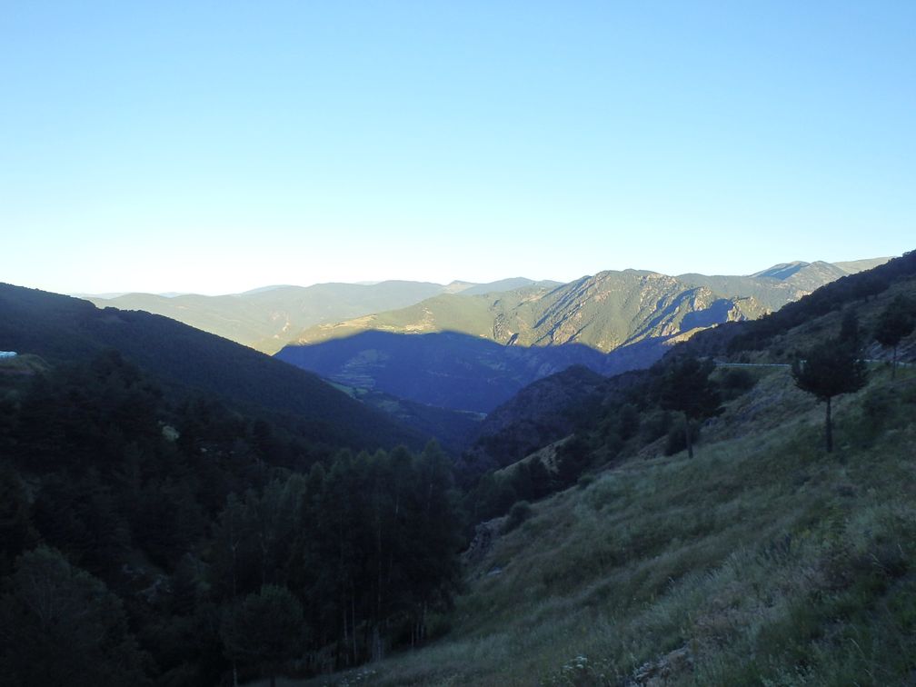
As I was at the top of port de Cabus about 5pm, I had hoped being able to climb my last Andorran climb, Bosc de la Rabassa, before the end of the day, and be able to sleep in la Seu d’Urgell. Of course, with my wheel incident I had to stop in Sant Julia de Llorat instead, where I took a room at hotel Floch, nearly at the foot of the Rabassa climb. Like in Coma Morera, two roads can be chosen to reach the top, that join in a pass called la Peguera just a few kilometres before the end of the climb. This time I chose the most direct way, turning right where the roads separate, but through curiosity I took the other one for descent, which has a little bit more ups and downs. The top of the Bosc de la Rabassa is the entrance to an attraction park, called Naturlandia. Again, I was able to do the climb before breakfast, so I was out of Andorra by 9pm, with the last three Spanish BIG of my trip ahead: col Canto, Estany de Sant Maurici and Port de la Bonaigua.

Coll Canto is steep at the beginning, the road is a bit busy, but it offers nice views to the Segre valley on the left. Closer to the pass, the road gets easier, and the pass takes place in a nice reddish rocks environment.

As I said before, it was exceptionally cold the first few days of my trip, but normal July heat came back on my last day. So I began to be overheated on the valley road that climbs slowly along the Noguera Pallaresa river to the beginning of the Espot and Sant Maurici lake climb. When getting out of
Espot, one has to turn right to reach the Estany de Sant Maurici (and not go to the Espot ski centre like I did, stupidly). The road to the lake is a very tiny one, where very steep ramps alternate with flat sections. There’s a car park a few kilometres after Espot, and from there the only authorised vehicles are 4x4 taxis that carry people to and from the lake. As one may expect, the scenery at the lake is very nice, and is even more appreciated I think when you have struggled one hour and a half to reach it.

By now, only port de la Bonaigua was to climb, but as I said, the heat, and maybe the tiredness from the previous days, caused me to
find this last climb much difficult. The fact it was on a busy road, with many cars, and even more of those motorbike cretins, passing by worsened things. But I have passed by enough of these moments to know that the only thing to do in such cases is to keep pedalling, and that even if going very slowly, the top of the climb always finishes to arrive. This climb to la Bonaigua could have been nice, except for the motorized traffic, but the valley is totally spoiled by a web of high tension wires.

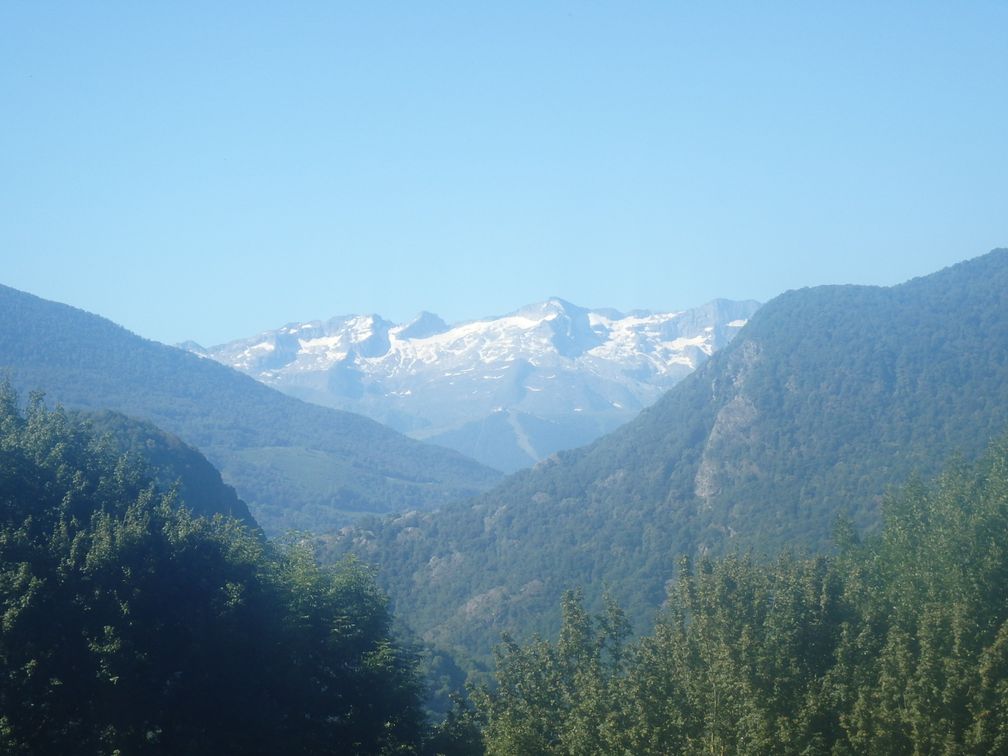
After the pass, I just had to let me down to Vielha, where I arrived at about 9pm and went into my last hotel. The day after, I climbed the col des Ares. Having started with col d’Ares, I found that funny. I then went down to Saint-Gaudens (with a last little pass on the way) where I jumped into the train to Toulouse, and finished this fructuous 14-BIG trip.

dimanche 10 juillet 2016

Mont Canigou

After two unsuccessful attempts with my road bike, the first time I didn’t find the good track, the second time I renounced a little after the col del Forn, where the unpaved track begins to get rougher, I finally managed to take my MTB to perform this climb. What I finally saw of the chalet des Cortalets road showed me how ridiculous I had been trying to make it with a road bike.

So on Sunday I took in Nice the train to Perpignan with my MTB. My plan was to stay the night in Prades, climb the Canigou on Monday and join my wife Monday night in Roquefort des Corbières, a village in the Aude department. Meanwhile she would have done the trip from Nice with the car and could bring me my road bike for a further BIG trip in the Pyrenees.

After having left the Perpignan station, I followed at first the old Prades road, parallel to the new main road, through the villages of Le Soler, Saint-Féliu-d'Avall and Corbère. In Bouleternère, I finally turned towards the mountains. I had time before being in Prades and was happy to visit some passes before. So I photographed my bike in front of the col Fourtou, col Xatard and col Palomère signs and went down to the Prades road, that I joined through Finestret. This was a little diversion from the direct road, but it was all downhill and it allowed me to be back on the highway a little closer from Prades.

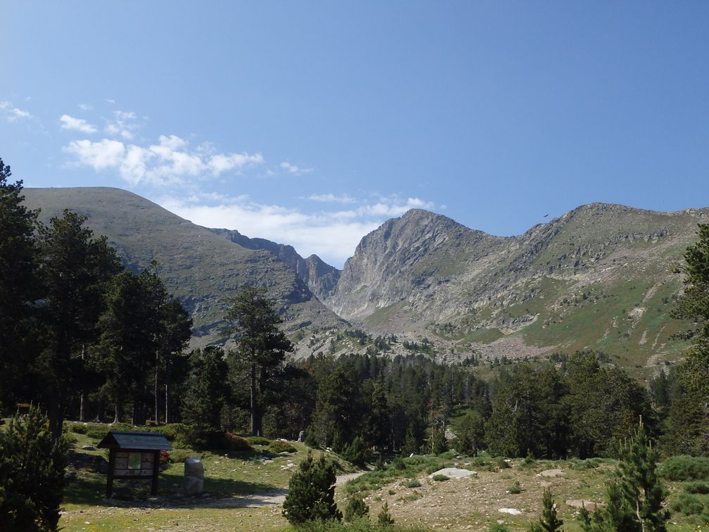
In the morning, after having annoyed the man at the hotel for being able to leave at 6 am, I headed to Villerach, where starts the Canigou track. The road to this village is found at the south exit of Prades, and there is also an access through Los Masos, a little downer on the Perpignan road. Up to Villerach, the road is asphalted, but immediately after, it turns to an unpaved track. For a few kilometres, before arriving to the coll del Forn car park, the track is nice, with no stones, but from this point to the end, it’s a mix of good track, bad track, with even some asphalted parts, with a tendency to get worst as we advance. But, after a long climb, I arrived happily at the chalet des Cortalets, and was very glad to have finally reached this BIG, that the use of the MTB prevented me to climb before.

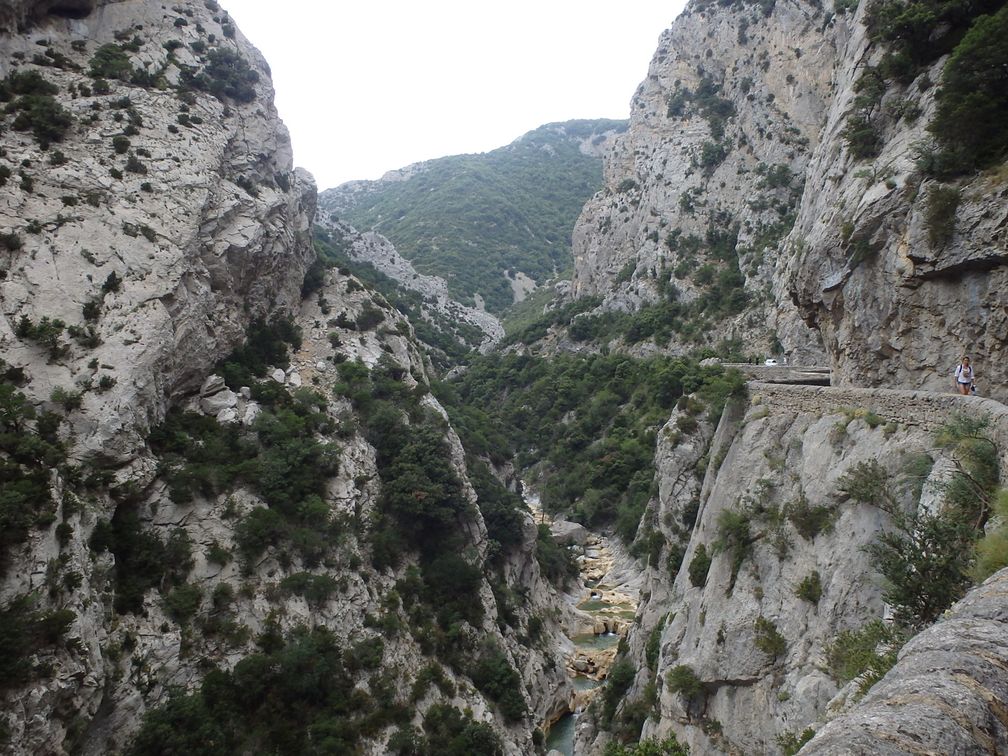
To go back to Roquefort, I went through Fenouillèdes and Corbières. These countries in the north of the Pyrénées-Orientales and south of the Aude offer nice roads, hilly and quiet, and are a pleasure to cycle. Furthermore, I was able to pass by the gorges de Galamus, which are a curiosity to see. And in the evening as expected I found again my wife and my beloved Time.

Pictures : http://cathie.charbonnier.free.fr/piwigo/index.php?/category/9

jeudi 14 avril 2016

Ardèche, Savoie

The purpose of the trip was to join my son who studies in Lyon, go with him to the Lyon–Nice football match (allez Nice!), then take him back to Nice. So I left Nice by car two days before the match, aiming to climb some BIGs on the way. After a night at a hotel near Montelimar, I parked in the morning at the Livron station and crossed the Rhône to find the col de la Mûre road.

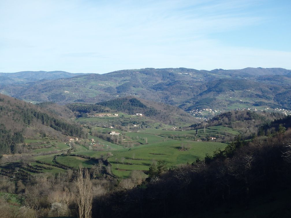
Nothing much to say about this trip, all things went fine except that the road between Désaignes and Saint-Pierre-sur-Doux was signalled closed 8 km further. This was too far away to try my luck, so I headed directly to Saint-Agrève and was back on my itinerary at Saint-Bonnet-le-Froid, with some extra kilometres that didn’t bother me much.

After crossing the col de Charousse and col de la République, I arrived at Crêt de l’Oeillon. It’s a dual BIG as once the antenna that marks the official BIG is reached, one can see opposite of it the military tower that looks slightly higher. So it’s difficult to go down without climbing to this building. After that, it was all downhill and flat to the Péage-de-Roussillon station where soon a train took me back to the car. I then drove up to Chambery with Mont Revard and Mont du Chat as my new targets.

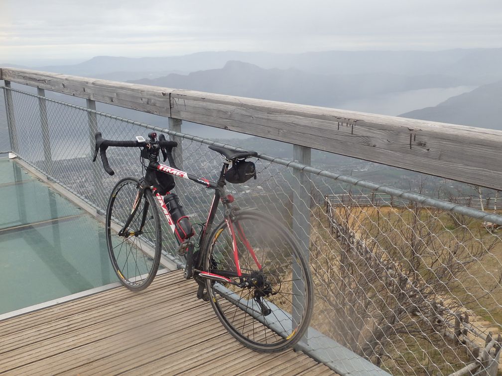
It was raining when I left the hotel in the morning. But when I parked by the lake between Mont Revard and Mont du Chat, the rain had stopped. I had some light rain when climbing the Revard but the weather improved and I even had some sun at the Mont du Chat. In Mont Revard, I went to the belvedere where they installed platforms to enjoy the view over the lac du Bourget. One was built from glass, to see through the floor. I really tried to walk on this but couldn’t. Of course it’s stupid because I would have walked without hesitation on a wooden platform, even higher than this one.

After going down Mont Revard, I crossed the south side of the lake on a nice cyclist path, and began the climb of Mont du Chat. It’s a long and very steep ascent, where I struggled much longer than expected. It was even one of the hardest climbs I ever did, but I finally reached the top. After a few (fuzzy) photographs, I went down to the car and drove to Lyon with plenty of time before going to the match (by the way, it ended in a 1-1 draw).


Pictures : http://cathie.charbonnier.free.fr/piwigo/index.php?/category/10

lundi 8 février 2016

Catalunya, Mallorca

I started this trip in Port la Nouvelle station. I took the train there to Cerbère, close to the Spanish border, where I started my bike ride. The coast road from Cerbère is of course very nice. I followed it up to Llança where I had to leave seaside to head towards Coll de Bracons. I then had about 20 km of highway, going through Figueres, until I took a small road in the countryside that led me to Banyoles and its nice lake, then the small pass of Colitza.

I found again the main road at the south of Olot for a few kilometers, before leaving it again to take the coll de Bracons road. The pass can be seen from far away, but it’s a steep way to reach it. At the end of the descent, I found a train (trains are numerous and cheap around Barcelona) to save me a bit of main road from Torelló to Balenyà, where I started the climb to coll de Formic. It was a gentle ascent from this side. On the other side it did look neither steep, even if it’s of course longer.

While I was climbing, I was considering all the options for the remaining BIGs in my program: Turo de l’Home, Montserrat and the six in Mallorca. I finally concluded that the best solution, that would make me finish sooner my trip, was to go to Mallorca this very night. So I left Turo de l’Home for later, even if I was very close to it, and went instead to Barcelona, by train from Sant Celoni station, to take the boat to Mallorca.

At this time of the year, there’s one boat a day, leaving late in the evening and arriving early in the morning, which is a good schedule as you spend the night in the boat. There are two companies crossing to Mallorca, with approximately the same schedule. I took Balearia because it was the first office I saw on the harbor, but I think both offer quite the same services. The boats are similar, more intended for the crossing of lorries but with a small space for passengers and cars (and bikes). In the boat I saw a post indicating the fare for a cabin was 150 €. I didn’t ask confirmation of this price (that seemed very expensive), as my Spanish is so poor, so I slept on two seats in the Pullman room, where I had a not so bad night.

As I woke up, I suddenly realized that, despite I spent hours at home preparing my trip and building the GPS tracks, I finally left without anything about Mallorca: nor the tracks saved in my GPS, nor any map of the island. I felt destroyed when leaving the boat. I bought the first map I found, but felt that with only the indications from my memory, it would be almost impossible not to miss some BIG of the island. I asked for an internet point at every bar I saw on the coast road west of Palma but didn’t find any. Finally I called my fellow bigger Pascal who pointed me on the phone all the BIGs of the island, allowing me to continue my trip. I owe him an eternal gratitude for that.

The climb to the first BIG, Galilea, was an easy one. On the way down, I had to choose in Puigpunyent which way to reach the next BIG, coll de Soller. Passing by Esporles may have been nicer, but with my earlier wanderings, I thought I had to catch up on my supposed schedule, so I headed directly towards the Soller main road. In Son Sardina I turned left on a parallel small road that was nice and narrow, but turned into a dirt road, going through farms. My map showed it as a real road to the end, but I would have better done to turn right on Soller road a little earlier.

The Soller pass is not very high but with as much hairpins as possible for its elevation, so it was a nice climb. To reach the next BIG, Monnaber, I took the smaller road through Fornalutx, but I don’t think it makes much difference from the direct way. I never saw as many cyclists as in this climb. At this time of the year, racers from all over Europe go training in Mallorca, so with my luggage and my touristic pace, I was overtaken by many pelotons. At the beginning of the descent, the road goes along two nice lakes and the start of the road to Puig Major, the highest point of Mallorca. Unfortunately (my nose is getting longer), it’s a military place so the BIG can’t be put up there.

The next BIG, Sa Calobra, appeared to me as the best one of the island. After leaving the Serra di Tramuntana road, it begins with a short ascent to Coll des Reis, then a long and windy descent. The road is full of hairpins and offers very nice views to the sea. I regretted after not to have tried to go to torrent de Pareis as it was close and looked like a beautiful place to see. Sa Calobra is a dead-end so one has to return by the same road. Eventually the road performs a 270° turn, going over itself, in a place nicknamed la Corbata (the tie) from the shape of the road. Here the wind was so strong that it nearly put me off the road. I remembered having been surprised at the beginning of the day not to find wind in Mallorca, but by the end of the morning the wind installed itself steadily and didn’t leave me until the end.

After the coll dels Reis descent, I was back on the road to Inca. After a few kilometers of ups and downs, I began a nice descent. From Inca to Sineu the road is much frequented, but when I turned left to Petra I was nearly alone. From Petra to Felanitx, the road is a bit busier but not too much. On my left, I could see in the dusk the hill from which the next BIG, monasterio de San Salvador, occupies the top. Between Felanitx and the foot of the climb, there’s a little stretch of busy road, but on the road to the monasterio, I was again alone. It was completely dark when I reached the top so I saw little of this BIG before going down. I then took the direction of Randa, the foot of the last BIG of Mallorca, monasterio de la Cura. Randa appeared on the map as a very small village, so I had no hope finding a place to sleep here. I intended to climb this last BIG, then turn back to Palma to find a place to finish the night, but felt it was a pity to do the climb in the dark and then lose the views it could offer. But to my great pleasure, there was a hotel in Randa, and so a few minutes later I was delighted to find myself in a nice bed instead of spending the night on my saddle.

In the morning, I was happy to have started at daylight, as effectively very nice views in every direction can be seen when climbing this BIG: Serra de Tramuntana in the northwest, the east coast on the other side. The climb didn’t take me long, even with the pictures stops, so I had plenty of time to reach Palma, following the coast, before taking the boat at about 11 am.

I was back in Barcelona by the end of the afternoon, and had to go to Plaza de Espanya station to take the train to Monistrol. I expected the station to be a big building on the place, but in fact it is located underground. Once I had realized the entrances to the station were the stairs going down from the place, I found my train easily.

In Monistrol I went to the hotel Guilheumes, which was nice and where I was left free to leave at any time. I didn’t want to go too early as I thought I had time to do the last two BIGs, Montserrat and Turo de l’Home, and be back in Port la Nouvelle by the end of the day. But I was up before 6am, tried to stay in the room for a while, and finally went my way in the very dawn, expecting to have daylight when reaching the top of the climb. But as it was cloudy and the climb not very steep, I arrived a bit early to enjoy large views from the top (anyway, the clouds would have hidden me anything). I discovered that this monastery was a very big one, almost like a little town, with plenty of buildings, and even a hotel. So I understood why I saw so many vehicles while climbing.

I had now to go back to Sant Celoni, where I already was three days earlier after my climb to coll de Formic, to finally climb the Turo de l’Home. The train to Sant Celoni was leaving from Barcelona Saints station. This station is a very big one, with trains going in every direction. I didn’t expect this and really had difficulties to find the good platform.

In Sant Celoni it was raining. I put my rain clothes on in the station then started my last ascent. Turo de l’Home is 1700 m high, so it was a strong ascent. The last part of the climb is on a little road in very bad state in some parts. The degraded sections are numbered so while climbing it’s possible to know how many are left. I was finally at the top, where it was very wet and cold, and began the descent just after the commemorative picture. Back in Sant Celoni station, the trip was finished, and I just had to wait for the train to Cerbère, then Port la Nouvelle.

Pictures : http://cathie.charbonnier.free.fr/piwigo/index.php?/category/11

jeudi 29 octobre 2015

North Appenine: Liguria, Emilia, Toscana

Having noticed that after all my summer BIGs, the nearest from Nice was now passo del Ghiffi, which was the first of a string of BIGs in the north Apennine, I began to think seriously about going this way. As the highest BIGs of the set topped no more than 1600 m, I thought it was perfect for a mid-season trip. So in the last days of October I was back on the BIGs road again.

My initial plan was to go directly to Florence by train and to turn back to Chiavari, at the foot of the passo del Ghiffi, where I could take easily a train back to Genoa, Ventimiglia and Nice. But when I arrived in Ventimiglia to take the 4.40 am train that would lead me to Florence, I had the unpleasant surprise to find all the doors locked, so I had to go to train head where the “capotreno” saw my bike and refused me access. Though I told him I intended of course to dismount it, I had to resign to take the regional train that left 20 minutes later, disappointed to see that in Italy the train inspectors were as stupid as in France. But the problems were not finished as a few minutes later we were all invited to get out of this train to take the following one that was
supposed to leave 15 minutes later. We left in fact even later, and two trains having been replaced by one, it was overcrowded while approaching Genoa. I felt that reaching Florence in these conditions would take me the whole day, so I decided to leave the train in Chiavari and perform the trip in the other way. I sacrificed the passo della Futa, as it seemed now highly unlikely that I could ride to Florence and turn back to Nice on time for the Nice-Lille football match. But I still had 8 BIGs left on my program which was quite enough to satisfy me.

I left the Chiavari suburbs heading north towards Borzonasca. The 3 kilometres before the last one of passo del Ghiffi are very hard but fortunately the road gets easier 1 kilometre from the pass and the last 500 m go downhill (the other side seems easier, as more regular). After the pass, the descent continues to passo del Bocco where I crossed the road that was fatal to Wouter Weylandt, heading towards Varese Ligure and Sesta Godano. The road climbs again with some drops until the start of the Zum Zeri climb where things get tougher as this climb is a serious one.

As an effect of my usual absent-mindedness, I forgot to close my saddle bag before beginning the descent and the jacket I had inside fell into the rear wheel, blocking its rotation and causing the tire to rip on the road, which led to a hole and a flat before I realised what was happening. At first the hole seemed enormous but seen from the inside it was much smaller. So I put a patch inside the tire and went down slowly to Pontremoli. I was wondering whether I’d find a bike shop in this city but to my great delight there was a big one at the first roundabout when entering town. I had some talk with the shop owner while he was fixing the wheel. He looked incredulous when I told him I was about to go to passo
del Cirone as soon as my bike was ready, as it was now nearly dark. He told me that the possibilities of sleep on the other side of the pass seemed to him very scarce and that I’d better go to the convent of Pontremoli where they had rooms for travellers. My fighting spirit had been greatly lowered by the tire incident, so I followed the advice and went to the convent. There were two people here waiting for the eventual pilgrims, I was asked for my pilgrim card, which of course I had not, but they accepted me anyway, telling I would be the one and only to stay here this night.

As I’ve been left free to leave my cell at any time, I was up at 4 a.m. to attack passo del Cirone. The first part is on the passo della Cisa road, but leaves it at the first hairpin. There are some drops at the beginning but the gradient increases as the pass comes closer. As I’ve been told the day before, I didn’t see many hotels in my descent towards Corniglio. I crossed passo del Ticchiano on my way to passo Lagastrello, where I turned back to go to Passo di Pradarena (it was possible here to go down the tuscanian side, and come back by passo del Ceretto but it was a bit longer). On my way to Pradarena I had to cross Passo di
Pratizzano which is not a little job. At the beginning of Pradarena climb, there was a post indicating a 10% gradient for 1 km, so I thought things would get easier after 1 km, but at the end of this kilometre there was the same 10% post for 2 km more! Anyway after these 3 km the road gets a little easier up to the pass. I had then a long descent down to Piazza al Serchio and along the Garfagnana valley when finally I turned left to take the San Pellegrino climb.

All these roads in the Apennine are generally quite steep, but San Pellegrino is by far the hardest. From the outskirts of Pieve Foscagno, there are 13 km from which 11 are hard, the last stretches before the sanctuary reaching the 20% gradient. There was a very high wind coming from the mountain, so it was impossible, with in addition the weight of my bag, to stand on the pedals. So I had to join the fraternity of walking pilgrims in some parts to reach the San Pellegrino hamlet. It was 7 p.m., I intended first to ride to Abetone before stopping for the night but the wind was so strong that I stopped at the hotel in San Pellegrino.

In the morning, the wind having blown all night long, there was not a single cloud in the sky and the view over the Apuan Alps made me happy not to have missed it passing by at night. I finished the climb of passo Pradaccio and went down to Pievepelago and turned in the direction of Abetone, which turned out to be the easiest climb of the trip. On the descent, I went down to Rivoreta and a succession of downs and very steep highs led me to Melo and the start of the Croce Arcana. This road climbs steadily but never inhuman up to a small ski resort called Doganaccio. At the end of Doganaccia, the asphalt stops but there are just 2 km of track that can be ridden easily. I turned back at the top so can’t tell how the track is on the other side.
The BIGs were now over and I just had to get home. In Melo, I stayed on the road going down to Cutigliano and La Lima. There I had to choose between going to Pistoia or Lucca. I chose Lucca, Pistoia would have been closer but as both towns are on the same train line, I don’t think it would have changed anything. I took the first train to Viareggio where I had soon a train to La Spezia, followed by a train to Savona. In Savona, I saw that the next train was an InterCity, so forbidden to bikes. I dismounted it carefully and I had no problem with the capotreno, although he had a remark about the bike not being in a bag. I was in Ventimiglia at midnight, later than the last train to Nice, so I had to make a last two-hours ride along the sea to turn back home.

jeudi 16 juillet 2015

Nivolet, Savoie

Back in Nice, I was a bit disappointed to have turned back from the Dolomites a bit too quickly. It was Tuesday, the wife had three days of work to come, from Wednesday night to Saturday, and the children didn’t come back from their pilgrimage in Lourdes before Sunday. So my perspectives were to turn back to the office or, why not, to turn back to the Alps. I hesitated a bit (approximately the third part of a second) before making a decision. I have had in project since a long time now of climbing the Nivolet, since it was first on the list of the highest European passes I had not yet cycled. So on Wednesday afternoon I was back in the train direction Rivarolo Canavese.

I had made a reservation in a hotel in Cuorgné, and Rivarolo Canavese was the nearest station. But here came one of my stupid goofs. The train I took in Ventimiglia went to Torino Porta Nuova, and the train to Rivarolo started from Torino Porta Susa. I didn’t pay attention that it was not the same door and looked in vain for the train to Rivarolo in Porta Nuova station (in fact I should have made the connection in Torino Lingotto). Having realized my mistake, I rode to Porta Susa, to find out there were no more trains. I phoned the hotel telling I would arrive a bit late and rode the 40 kilometers to Cuorgné, arriving finally at about 11 p.m. Well, finally everything was fine as I was where I intended to be first and I had a nice (albeit nocturne) ride through the Torinese countryside.

The Nivolet road starts really to climb when leaving Noasca. There’s a 3.5 km tunnel just after, but the old road is on the left just before entering it. At first I was afraid, as I encountered immediately an un-paved stretch, with big rocks overhanging the road, but it was a very short passage, and the old road continues very nice afterwards. At some point, it enters briefly the tunnel, but gets out on the left just 200m after, up to the Ceresole Lake. After the lake the road continues to climb to two other lakes. There’s a brief descent to Lago Agnel before the start of the last stretch of the ascent. The views on this part are wonderful, as the road’s hairpins overlook both lakes.

After the pass, the road goes down a little then stops. To reach Val d’Aoste from here, there’s a path going down to Pont Valsavarenche where the road starts again (the alternative being 150 km of riding, all on valley roads full of traffic and in the heat). I had of course a pair of light sandals in my luggage for this purpose and so went ahead on the path. First it was more or less flat, with some parts that could be done on the bike, but finally the path begins a very steep descent, with Pont Valsavarenche far below (and a great view to the Grand Paradis in front). Well, it’s just a matter of walking aside the bike, and two hours after my start at the Nivolet, I was back on the asphalt again, on top of a long descent to Arvier and the Val d’Aoste road.

As I was riding towards Morgex, and the foot of the Colle San Carlo, I fell suddenly in front of the Mont Blanc. I was very impressed, as it looks so huge, one sees immediately it’s a mountain bigger than the others, great sighting. After San Carlo pass that was everything but easy and a downhill to La Thuile, I went for the last part of the passo del Piccolo San Bernardo. Although it was easier than the San Carlo pass, I was happy to reach the top as it was the beginning of the evening and I aspired to a rest. In Bourg-Saint-Maurice, I stopped in Relais de la Vanoise, which appeared to be perfect: nearly on the road of the Cormet de Roselend, good meal in the evening, correct room and breakfast at 6.30.

So at 7.00 a.m., I was climbing my fourth BIG of the trip, Cormet de Roselend, where here again Mont Blanc can be seen on the right. In the descent, after crossing the dam of Roselend, a short ascent leads to col du Pré, where begins a steep descend towards Arêches. From my studies of the maps, I’ve thought than taking the so-called Route des Colombières over Boudin instead of following the road would save me distance and elevation. In fact, it was not asphalted and the 12 m elevation I saved weren’t worth the detour. Anyway, it was a good rehearsal for what was going to follow.

Effectively, a few kilometres upper, the road turned unpaved once again, but this time there was no way to avoid it. In fact, the gravel section of the Cormet d’Arêches is not so terrible. I was with 700x23 tires and was never constrained to stop cycling, and I was at the pass in less time I had feared first. The only unpleasant thing being that at the end of the unpaved road, the asphalt comes back but only in the hairpins, the stones turning back after each curve. In the valley, the heat was intense. I had hoped that La Plagne climb was going to be a bit shady but in fact it was nearly not.

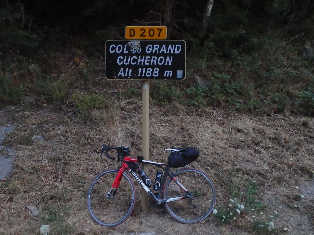
After La Plagne, my next BIG target was the Grand Cucheron, having done La Madeleine during a former stay in the Maurienne. I went to Aime station, aiming to travel by train along the Isere valley to Gresy-sur-Isère, but I had to cycle to Moûtiers, as a rock fall had destroyed the railway between Aime and Moûtiers. Cycling on the big Tarentaise road was not that horrible, as it was mostly downhill, it was quickly done and I could finally relax in the train.

It was late in the afternoon when I left the Gresy station. I was thinking of sleeping in Aiguebelle, which was not far away. But Aiguebelle turned out to be much smaller than I imagined. In fact it is a one-street town and the two hotels I saw were closed since years. I asked people for a hotel but they were sending me 20 km away in the opposite direction, so I kept heading towards Grand Cucheron. Fortunately, at the point where the Grand Cucheron road leaves the Maurienne road, I saw a sign indicating a B&B ahead. I immediately dialled the phone number and was really happy to hear a lady tell me she was OK to receive me. So I rode the fastest than I could the 5 kilometres climb that led to Saint-Georges d’Hurtières and found a bed I didn’t hope no more.

What’s more, I have been left alone in the flat, and I was free to go at any time in the morning. So I woke up at 4 a.m. and went for what was left of the Grand Cucheron climb in the dark. I arrived at the pass as dawn was breaking so had no problem of light in the descent. I arrived in Allevard as the bread shops were opening and had a nice breakfast before the Collet d’Allevard climb.

After the Collet d’Allevard, I went down and crossed the Isère in Pontcharra, on my way to the last climb of my trip, le col du Granier. Well the expression last but not least was here fully justified. The col du Granier appeared to be very steep, with very grainy asphalt difficult to ride on. On some places, there were patches of new asphalt that made me ride on the right or left of the road
indifferently as long as I was on the good coating. But after this hard climb, I had only 15
kilometres of downhill left to be in Chambery station.

This time I bought a roll of wrap film, as I knew I had to take the high-speed train to turn home. I had the time in the regional train between Chambery and Lyon to dismount the bike and wrap the chain and derailleur. In the TGV I had an unpleasant remark from a ticket inspector about the way my bike was packed but nothing more, and at the end of the afternoon I was happily back home.

samedi 4 juillet 2015

Domodossola – Locarno – Chur – Saint-Moritz – Davos – Auer - Tesero

Domodossola was the starting point of my first trip, in the beginning of July, my first climb being the Cascata del Toce. There’s a long tunnel (doing a loop), but the old road is still in good condition and is perfect for cyclists, with nice hairpins. The BIG is located right at the top of the cascade, but it would be a shame not to continue to the Morasco Dam. On my way down, I went through the tunnel, but I should discourage cyclists without a proper light to take it, as it is quite dark in some parts. I then climbed the Alpe di Cheggio, which is a good climb, with a nice lake at the top, then turned back to Domodossola.

My next target was the Lago di Naret, in Switzerland. To reach Ponte Brolla, which is the start of the Maggia valley, I had to take the Locarno main road. There is a train (http://www.vigezzina.com) going this way, but forbidden to bikes. As this train was quite slow, and I had to wait for the departure, I decided it wasn’t worth the time I’d lose going to the station to see my access refused, so I took directly the Locarno road. Well, the first part of the road should make cyclists consider more thoroughly the train option. It was a horrible section of road: many, many cars, a lot of tunnels and in a very steep ascent (not the best moment of my travel). Fortunately, at the top of the slope, the road gets wider and the scenery nicer. Even the flow of vehicles seems to decrease. Arriving in Ponte Brolla, I tried my luck at the bus stop, even if here again, it was stated that bicycles were forbidden. Well, I had no problem getting my bike into the bus, and I went up to Bignasca where I finished my first day of travel, at the Albergo della Posta.

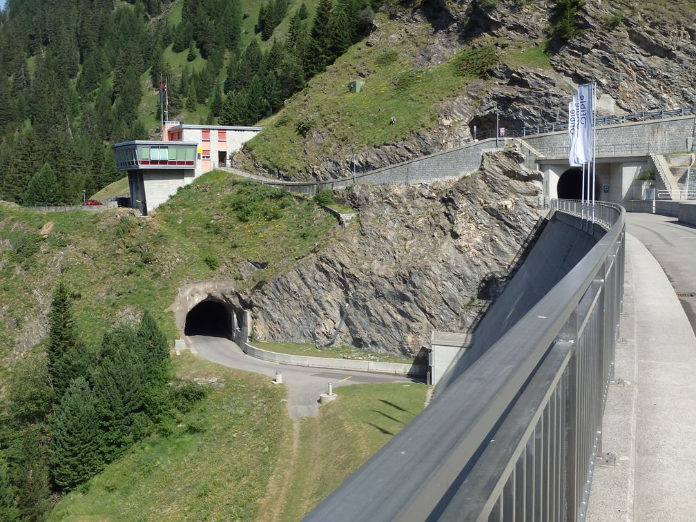
The morning after, I continued my way up to Lago di Naret. It is a very beautiful climb (but in fact, all these mountain roads are nice), particularly after the Sambucco dam, but it’s also at this point that things get tougher. There are a lot of 13% stretches before reaching the top. The road arrives first at a little car park, where the dam can be seen at a little distance. There’s a short downhill before the last climb to the dam. When I was there, the last part, between the car park and the dam, was blocked by a bulldozer, because falling rocks obstructed the road ahead. I had to make my way walking along the rocks to get to the other side and finally reach the lake.
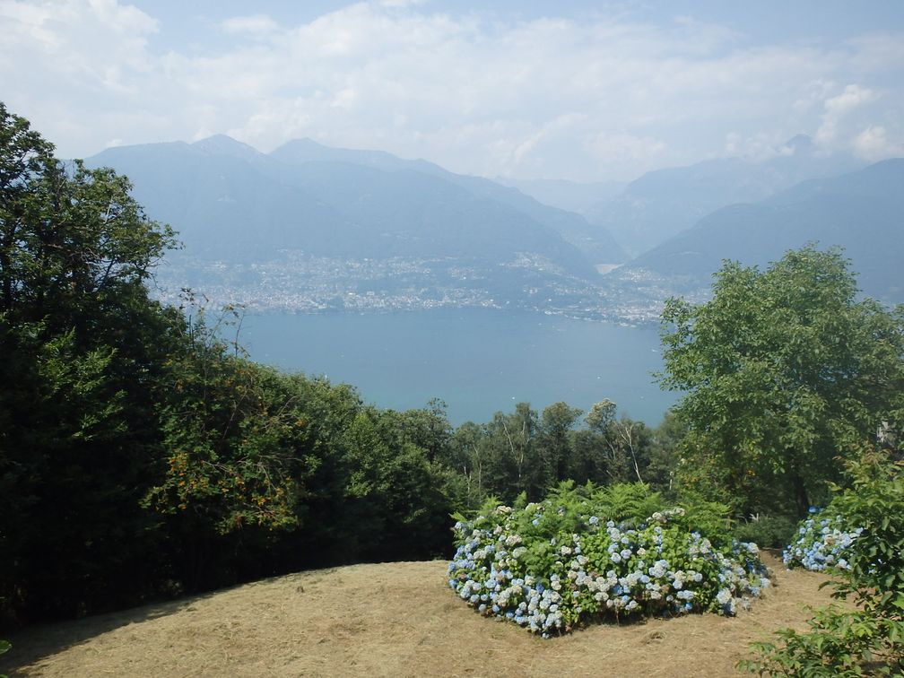
I then turned down to Locarno. To cross the city, nice bicycle paths can be found along the lake, with lot of people taking the sun by the water, that make you wonder why you spend your time suffering on a bike (I don’t think this question has an answer). After Locarno, a set of highways leads to the east shore of Lago Maggiore and the start of the Alpe di Neggia. The beginning of this climb offers great views over the lake, while the second part provides a more mountainous atmosphere. At the top, I turned back and went down to Bellinzona, going directly to the station. A train for Biasca was soon to come, so I saved myself 25 km of not very pleasant road up to there. After Biasca, the road climbs gently towards the Lucomagno pass. I took on the left a little road passing by Semione, which was nice to ride, even if the traffic on the main road wasn’t too important. I arrived in Olivone as the night was beginning (so did the rain) and took a room at the Osteria Centrale.

As the innkeeper showed me the room, I felt something strange about him. Finally, he told me, very embarrassed, that due to works on the Town Hall roof just opposite, there was a possibility of some noise, starting at 5 a.m. With a big smile, I answered this was perfect for me, as long as I could take my bike for a ride before breakfast. He looked so relieved to hear me speak in such a way that he gave me the keys of the hotel, the keys of the bike shed, to my great pleasure.

So, as the first hammer hit the roof, I got up and went for an early ride up to Lucomagno Pass. The slope is quite gentle on this side (don’t know about the other side), the road is wide, the mountain views were nice, so everything was right up to the hospice located at the pass. I saw however that the road was still climbing after the pass, entering into a tunnel overhanging the lake. I continued until the downhill began, but that was of no interest as it was all inside the tunnel. After my breakfast, I left the hotel for Lago Luzzone. Just before the dam, a crossway with three tunnels appears, and of course I had to try the other two before finding the one that leads to the dam (it was the one on the left if I remember well). I went then all the way down to the San Bernardino road. When I arrived, I looked at the bus timetable, and saw that I had just time for an ice-cream before the bus arrived. Here again, I was happy to avoid a long stretch of valley road into the July mid-day heat.

I feared that the San Bernardino was a big pass and thus there would be a heavy load of vehicles, but the nearby highway takes most part of the traffic, and it appeared that it was one of the nicest climbs of my trip: big pass over 2000m, nice scenery, reasonable steepness, everything was fine. After this pass, I went back and forth to the Splügen pass, where nice sets of hairpins can be found.

The following BIG was Juf. It was getting late as I reached the upper part of the climb, so I began to look at the hotels. The first one was full, there was another one but closed (hotels in Switzerland close one day per week, usually the day you pass by). Finally I was happy to find a little B&B where I was the second client. So, early in the morning, I finished the last stretch of the climb and turned back towards Thusis and the Glaspass.

I regretted afterwards not to have thought of the train option between Thusis and Chur, as these trains appear to be frequent, but I arrived anyway in Chur, at the foot of Arosa climb. At the Calfreisen tunnel, I took a little track that starts on the
right just before the tunnel entrance. It was certainly the old road, abandoned since years, but that could still be ridden by bike. Of course on the way down I took the tunnel. Back in Chur, I began to climb the Lenzerheide road as the day was finishing. I was trying to find a hotel for the night when I was caught by a hailstorm just when entering Churwalden. I tried to shelter under a balcony, but a strong wind kept pushing the rain in my direction. Fortunately, a lady saw me and offered me to enter her home (her husband was here, don’t imagine anything). She even phoned a nearby hotel for me, and so after the rain had slowed down, I left her to go to Hotel Krone, just a few hundred meters away. The breakfast at this hotel was not before 8 a.m., but having arrived in the evening all wet and helpless I didn’t ask for the possibility of an earlier start. So I spent some time in the morning trying to find a way to take my bike out of their shed but it was locked for good, and finally I had to wait in my room till 8 o’clock.

Starting in Churwalden, the Lenzerheide was no big deal and I was soon at the foot of the Julier Pass. Instead of taking the highway, I took a small parallel road passing by Mon and Salouf. This road overlooks the normal Julier Pass road, where I saw lots of cars and lorries. This made me think that I had made a good decision, even if at the end the Salouf road loses some elevation before returning to the Julier Pass road. After the descent I crossed Saint-Moritz and went down to Samedan. At some point here, I followed a sign indicating a bicycle path that turned to be un-asphalted, so it would have been better to stay on the normal roads up to La Punt.


On the Albula climb, it was rainy and foggy, but at the bottom of the descent the weather had improved. I then started the long stretch along the Landwasser River that lead to
Davos. I have seen there was a 3 km long tunnel and made researches on the internet that showed that apparently a road existed that followed the river, thus avoiding the new tunnel. I saw the start of this road, which passes under a bridge just before the tunnel, but its access was through some kind of quarry, closed by a barrier, not inviting at all, so I went through the tunnel. It was not pleasant, but as I stayed the more I could on the sidewalk, I haven’t felt in danger.

Going out of Davos, I saw on the left a kind of giant flying saucer that turned to be the Intercontinental hotel. I thought that riding away from the town center would allow me to find a cheaper place to stay, so I followed my way towards the
Flüela Pass. The place looked poor in hotels, the only one I saw was closed on Wednesdays (as it was Wednesday). I arrived at the top at nearly 10 p.m., I had already resigned for a descent in the dark, without being sure to find anything still open below, but, fortunately, I saw two people by the garage door of the Flüela hospice, that were about to close it for the night. They let me accommodate so I had the highest night of my life, at 2383 m (2386 considering I slept at the first floor).

As expected, the descent from there in the early morning was everything but hot. When I arrived in the valley I tried to take the cycle paths to join the Pass del Fuorn road, but they turned out once again to be un-asphalted (Switzerland seems to make a specialty of non-cyclable paths). The climb on this side of the pass is nice, although
not exceptional, but the view at the top is fantastic, with the Ortles appearing, full of snow, above all the surrounding mountains. Down in the valley, the temperature had seriously increased. I was happy to find nice bike tracks this time, and small roads to arrive at the beginning of Val Martello. On this ascent, I ate a lot of strawberries as these fruits are produced and sold everywhere (and cherries, and apples …). And after a long ascent in the heat, I turned back to the Adige valley.

In my initial program, I should have headed towards Val Senales and Merano 2000. But I was behind my schedule as I had to be in Tesero on Saturday (we were Thursday) for the Randolomitics. So I left these two ones for later and took a train from Coldrano to Vilpiano, and at the nearby village of Nalles I took a hotel that was on the really start of the passo delle Palade climb.

The following day was light, as I knew the Randolomitics (467 km, 14200 m elevation) expected me. I performed just a little loop with Passo delle Palade and passo della Mendalo, went down to Auer and took a bus to Cavalese. Then I had a little ride to Tesero, where I enjoyed a half-afternoon of rest, quite unusual since I left home.

The Saturday and Sunday, I was occupied with the Randolomitics. Even if the route was imposed by the organization, there were enough new BIGs to satisfy me. Here is the list of the passes, where the BIGs are starred: Passo Valles, Passo San Pellegrino, Passo Pordoi*, Passo di Fedaia* (very hard), Passo Sella*, Passo Gardena*, Passo Valparola*, Passo Falzarego, Passo Giau*, Forcella Staulanza, Passo Duran*, Forcella Aurine, Passo Cereda, Passo Brocon and finally Passo Manghen*.


At the start of the Manghen, I was riding for more than 30 hours, and the tiredness of the week I had spent on the bike fell suddenly on my shoulders. Moreover, it was the beginning of the afternoon and the heat was intense. I suddenly wasn’t able to go ahead: I drank, ate, tried to sleep without success, ate again, stopped, rode two kilometers and so on for hours and hours. At the top of the climb I wasn’t able to ride anymore, I walked along the bike, it has certainly been my wrong moment on a bike. I managed finally to reach the top after seven hours of struggle. Needless to say that I quit the Randolomitics, and didn’t make the passo Lavaze and Pampeago climb that were on the official route. Instead I turned back to Tesero following 8 kilometers of nice bike paths along the river, and took a room in the hotel where I have stayed two nights before.

In my room, after dinner, not having slept since 5 a.m. the day before, I had a little moment of distress. So I made the error of taking my phone, call the wife and tell her that two weeks were too much, that I was exhausted and that I came back home the day after. The fact is that, after a good night of sleep, I was much less willing to turn back, but I couldn’t renege. So I came down to Auer and took the train home. From Verona, I had to take long-distance trains, where bikes have to be dismounted and in a bag. I had no bag so I took a piece of cardboard and wrapped it around the derailleur and the chain and I had no problem with that in the train. I had however to pay a fine, because, for some strange reason, the vending machine in Auer sold me a ticket for a Verona-Milano that passed much later than my arrival in the Verona station. I paid no attention to the schedule printed on the ticket and took the first train to Milano, which was not the one I have made my reservation in. But anyway, I was in Nice the Monday night, much satisfied of my trip, but with the little regret of not having thought over a bit more my decision to come back.